Drop a Pin on This Map to Tell DPW Where to Fix Dangerous Streets
The Hancock administration wants your help on its Vision Zero plan to eliminate traffic deaths and serious injuries on Denver streets.
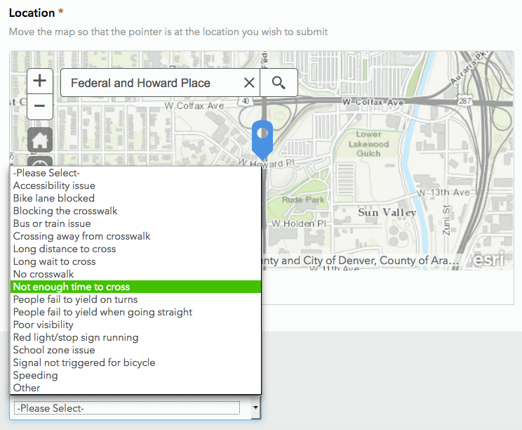
Yesterday, the city posted a map-based survey that lets Denverites identify deficient pedestrian crossings, ineffective bike lanes, high-speed streets, and other dangerous conditions for walking and biking. The crowd-sourced data will help prioritize projects in the city’s Vision Zero “action plan,” which is slated to be released later this year.
“To create mobility freedom in our city, our people must feel safe no matter the mode of transportation they choose,” Mayor Michael Hancock said in a statement. “The city and state have considerable crash data, however, feedback from our residents regarding where they believe safety on our streets can be improved is just as important. This survey will help Denver broaden our insight into the safety of our streets and neighborhoods.”
A similar combination of crash data and public survey responses informed a “high injury network” map in Los Angeles showing hostile conditions for walking, said Rachael Bronson, a transportation planner with Denver Public Works. In the LA survey, 7 out of 10 respondents said they preferred walking to driving, but many did not have access to a safe pedestrian environment.
The survey is open to the public until April 30.
Streetsblog has migrated to a new comment system. New commenters can register directly in the comments section of any article. Returning commenters: your previous comments and display name have been preserved, but you'll need to reclaim your account by clicking "Forgot your password?" on the sign-in form, entering your email, and following the verification link to set a new password — this is required because passwords could not be carried over during the migration. For questions, contact tips@streetsblog.org.


