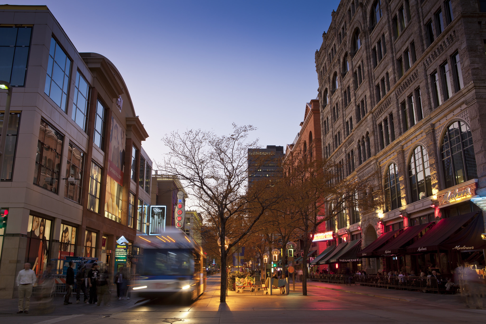
Denver Finalizing Blueprints for Future of Transportation, Housing and Parks; Asks for Your Input
Will Denver’s streets change to move more people quickly and efficiently—or will they continue to prioritize dangerous, polluting, road-clogging cars?
Last night, the city published new drafts within Denveright, a bundle of five plans that outline the city’s 20-year vision for improving parks, new construction and how it will move a growing population. But Denveright could go Denver-very-wrong if the plans are not explicit about making more room on the streets for walking, biking and transit, say members of the Denver Streets Partnership, a coalition of advocacy groups.
“The problem is dependence on cars,” says Jill Locantore, executive director of Walk Denver and a member of the partnership. “The tradeoff we have to make is to de-prioritize cars.”
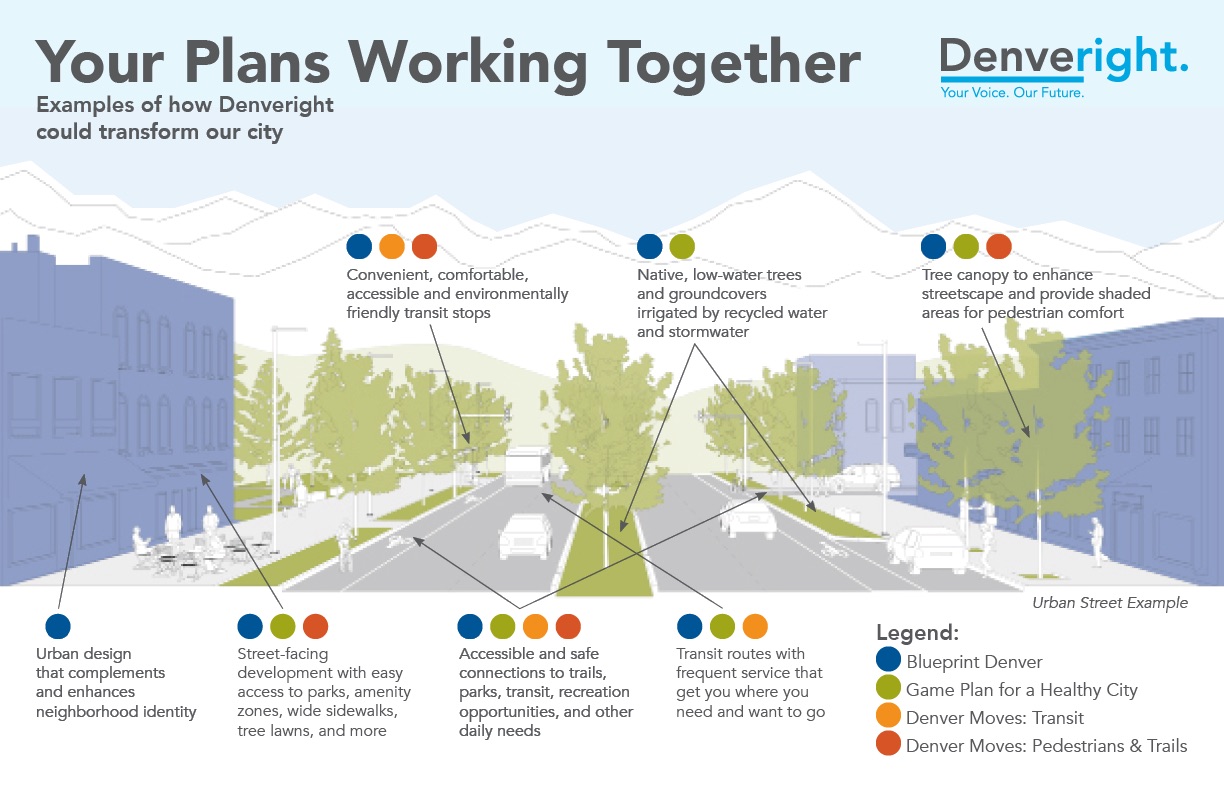
Yesterday the city released drafts for three of its five plans for the future, including the Comprehensive Plan 2040, which covers big-picture goals, including mobility enhancements; and the Game Plan for a Healthy City, which focuses on the future of parks and recreation. As the planning process wraps up its public input period later this year, members of the streets partnership will give an especially hard look at another plan, Blueprint Denver.
“This is the driving plan for land use and transportation for the next 20 years, so it has to be bold,” says Piep van Heuven, executive director of Bicycle Colorado, which is also part of the partnership. “It’s what all of the smaller plans are going to point to.”
But the city’s previous draft of Blueprint Denver was far from bold, she says.
In a letter to the city last September, the partnership criticized Blueprint Denver’s first draft. It suggested that the city “balance the competing needs for space on streets.” The advocates say that this wording leaves too much room to prolong the city’s car dependency.
“It’s about stating clear priorities rather than continuing to imply that we can balance both car-centric and multi-modal approaches,” says Locantore.
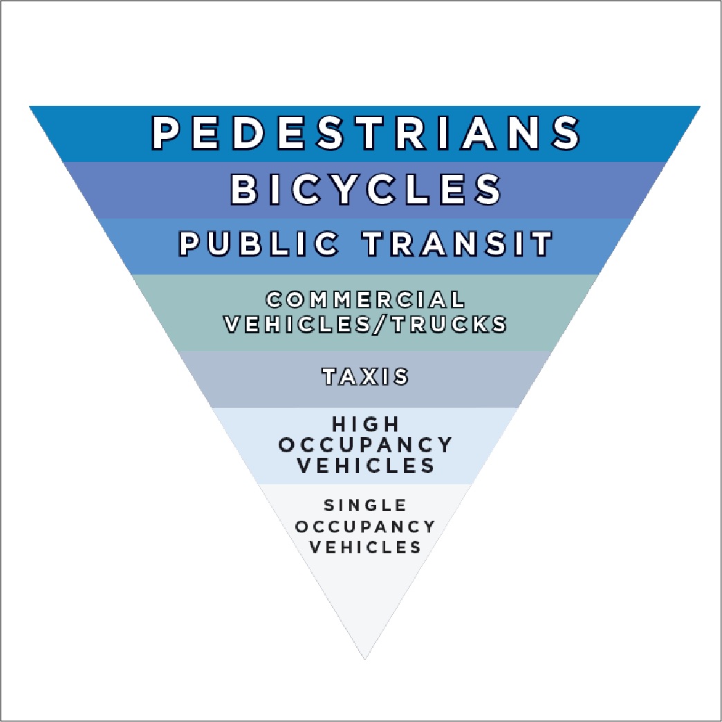
Instead of Blueprint Denver’s muddled talk of “balance,” advocates will be looking at the second draft for more definitive language to clarify how they city will transform its streets. Locantore pointed to a visual aid that does just that, an inverted pyramid that puts pedestrians, bicycles and public transit above cars.
But if the current drafts within Denverright continue in the wrong direction, there’s still time for members of the public to get involved with organizations that promote livable streets or make public comments as individuals. The plans are now on view at public libraries or online at the city’s Denveright page. Comments can be made online or at one of the following drop-in sessions:
- Ross-University Hills Branch Library, 4310 E. Amherst Ave., January 10, 5-7 p.m.
- Decker Branch Library, 1501 S. Logan St., January 15, 5-7 p.m.
- Scheitler Recreation Center, 5031 W. 46th Ave., January 24, 5-7 p.m.
- Park Hill Branch Library, 4705 Montview Blvd., February 5, 5:30-7:15 p.m.
“This is an exciting time for the city,” says van Heuven. “We have a chance through this public planning process to set a new course, we have an opportunity to make real change.”
Streetsblog has migrated to a new comment system. New commenters can register directly in the comments section of any article. Returning commenters: your previous comments and display name have been preserved, but you'll need to reclaim your account by clicking "Forgot your password?" on the sign-in form, entering your email, and following the verification link to set a new password — this is required because passwords could not be carried over during the migration. For questions, contact tips@streetsblog.org.


