Help Map Denver’s Walkability and Win $1,000 for Your Neighborhood
Denver is in dire need of sidewalks and crosswalks that make walking safe and easy instead of daunting and dangerous. Advocates are pressing the City Council to deliver on a complete sidewalk network, and council members are listening.
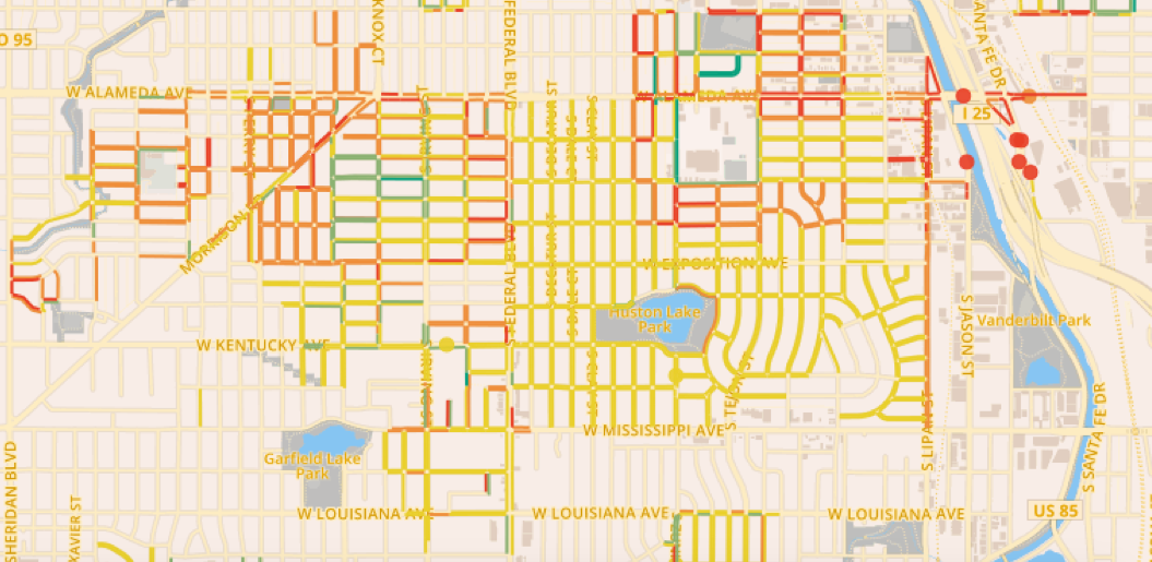
One of the barriers to better walking infrastructure is the lack of data. There’s no complete inventory mapping the state of Denver’s sidewalks and crosswalks. But that’s changing as people take advantage of WALKscope, a crowdsourcing app that lets you map and rate the city’s walking infrastructure.
WalkDenver and the Community Active Living Coalition have taken the lead in collecting WALKscope data and recruiting volunteers to help. Now the organizations are challenging everyone to join in and offering $1,000 for a “neighborhood-designed walkability project” (think sidewalk art or way-finding signs) to sweeten the deal. They’re calling it the WALKscope Data Challenge.
More from WalkDenver:
The data collected during the WALKscope Data Challenge will help WalkDenver & CALC to tell stories with photos, maps, and statistics that illustrate the challenges people on foot face throughout the city, and build the case for policies and investments that make walking a safe and easy option for all Denver residents.
Here’s how it works: Get together with your neighbors, friends, co-workers, or classmates and register. Learn how to use WALKscope with this tip sheet or by attending a training. Then start walking and collecting data (ideally in areas that haven’t been surveyed).
The three teams that map the most miles of streets each win a $1,000 prize. You’ll be able to check the leaderboard on WalkDenver’s website starting May 31, when the contest begins. It ends June 14. Happy mapping.
Happy Memorial Day weekend, Streetsblog Denver readers. We’ll be offline for the holiday and back to publishing on Tuesday.
Streetsblog has migrated to a new comment system. New commenters can register directly in the comments section of any article. Returning commenters: your previous comments and display name have been preserved, but you'll need to reclaim your account by clicking "Forgot your password?" on the sign-in form, entering your email, and following the verification link to set a new password — this is required because passwords could not be carried over during the migration. For questions, contact tips@streetsblog.org.


