Westwood Residents Look to Take Back Their Streets From Traffic
A plan created in 1986 has been guiding the development of Westwood, a neighborhood in southwest Denver, for the last 30 years. And the streets reflect it.
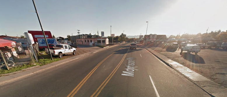
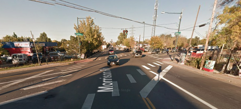
Westwood is bounded by two of the city’s least walkable corridors, Federal and Sheridan boulevards. Morrison Road, a dangerous diagonal arterial, slices through the neighborhood with a 35 mph speed limit. Residents say drivers go much faster than that.
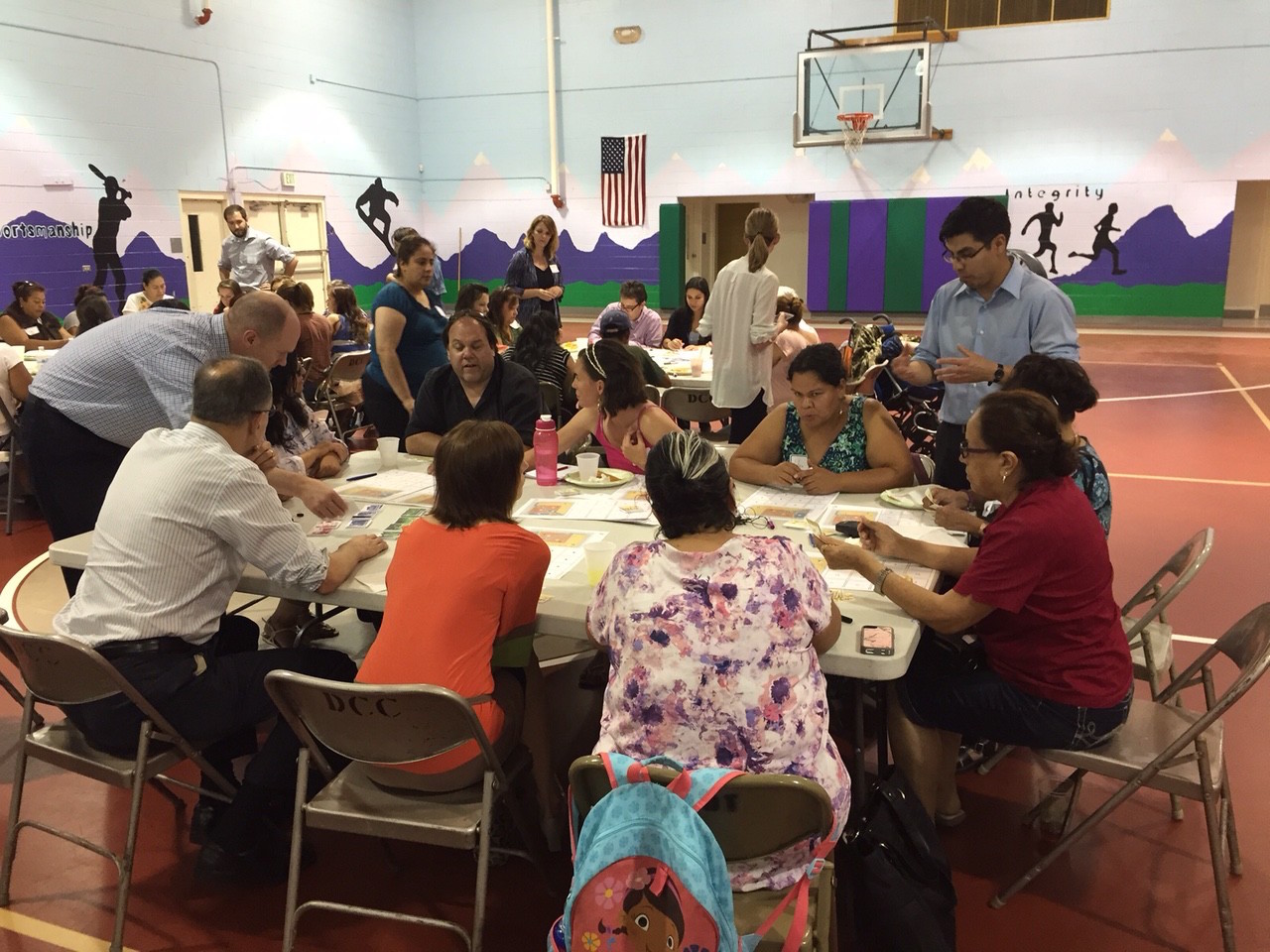
The city is developing a new roadmap for Westwood, so the planning department hosted a workshop last night with local residents and Westwood Unidos, a neighborhood organization. Residents will guide the process, said Steve Chester, the project manager. Attendees told the city what’s most important to them, and fixing a broken Morrison Road was on their minds.
“I try to walk with her and it’s so unsafe,” said Elsa Rocha, pointing to her young daughter. “There are so many hit-and-runs in the area. Morrison Road needs to be much more family centered and reflect the community. We need wider sidewalks, more lighting. There are bike lanes most of the way down Morrison, but people drive so fast it’s not even safe for someone on a bike.”

Councilman Paul Lopez fought to get a traffic signal at Perry Street, which will be built this summer. Though good intentioned, the light may organize traffic better, but probably won’t calm it. Though bulb-outs are in the road’s future, much more needs to be done for the neighborhood streets.
Westwood’s demographics portray a community desperately in need of livable streets. Families with children account for nearly 60 percent of its households, compared with 44 percent citywide, according to the Community Planning and Development office. Thirty-five percent of the neighborhood lives below the poverty level (20 percent citywide). It’s not an insignificant figure in a city where property owners are responsible for fixing the crumbing sidewalks — the public right of way — in front of their homes.
“If you see the sidewalks in Westwood, they’re so small, and a lot of community members have strollers,” said Maricruz Herrera, a community organizer with Westwood Unidos. “They try to use them, but it’s too hard for them.”
Rocha said she experiences the same unacceptable infrastructure and ends up driving instead, even if the destination is within walking distance.
Better streets will directly enhance quality of life in Westwood, said Rachel Cleaves of Westwood Unidos.
“We want to see Morrison Road made into a destination that celebrates Latino culture, creates economic opportunity for the neighborhood, and provides opportunities for families to have activity in their neighborhood,” Cleaves said. “Currently Morrison is seen as unsafe because of a lot of fast traffic and drunk driving, cars, and other unsavory elements. We want to see it more walkable with traffic calming and wider sidewalks.”