Retrofitting University and Colorado Light Rail Stations for People
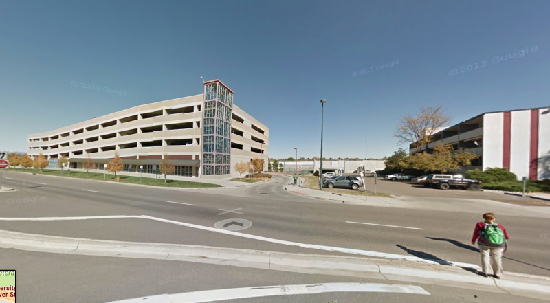
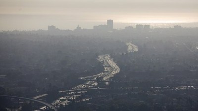
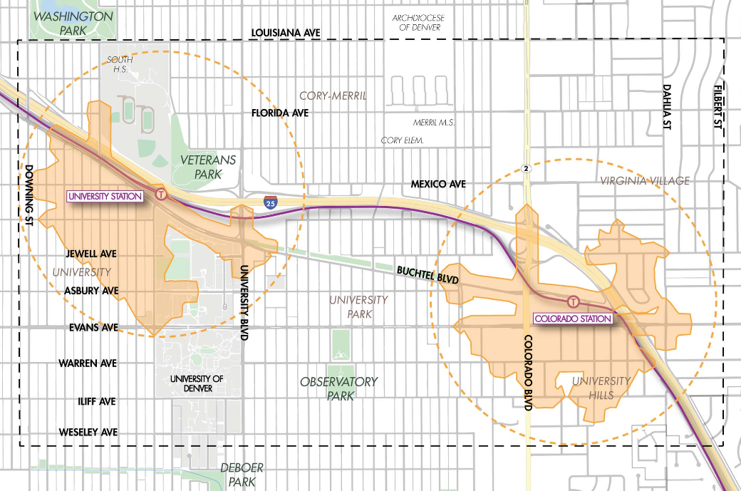
The University of Denver Station and Colorado Station are two islands in a sea of parking lots, wide roads, and gaping intersections that hinder pedestrians, bicyclists, and transit riders from getting to and from transit without a car.
Blame past decision makers who plopped light rail next to I-25 and prioritized giant parking garages and sprawling parking lots over places for people. These stations should anchor communities of compact, walkable housing and commercial space so that people can live car-free. But right now the decade-old stations anchor car-oriented transit, not transit-oriented development.
That could change if conceptual plans to retrofit the station areas, which are 1.5 miles away from one another, become reality. Denver’s planning and public works departments, the University of Denver, and nonprofit Transportation Solutions have been working on plans to repurpose car lanes for protected bike lanes, create plazas from underused space, make crosswalks safer, and compel dense housing and retail around the stations.
“We’re like an island in the middle, and there’s the light rail station over there, but it’s hard for us to get to that,” said University Park resident and Transit Alliance grad Rosemary Stoffel. “So people drive.”
The two RTD stations are along the E, F, and H lines and combine for more than 9,000 trips per day. But ridership could be much higher if the stations were accessible, city officials and neighborhood residents say.
Changes to Buchtel Boulevard will be key. The street connects the two stations, and is four lanes wide around the University station. Buchtel only carries 5,000 to 10,000 vehicles per weekday — traffic that “could easily be accommodated with one lane in each direction,” an Urban Land Institute report found.

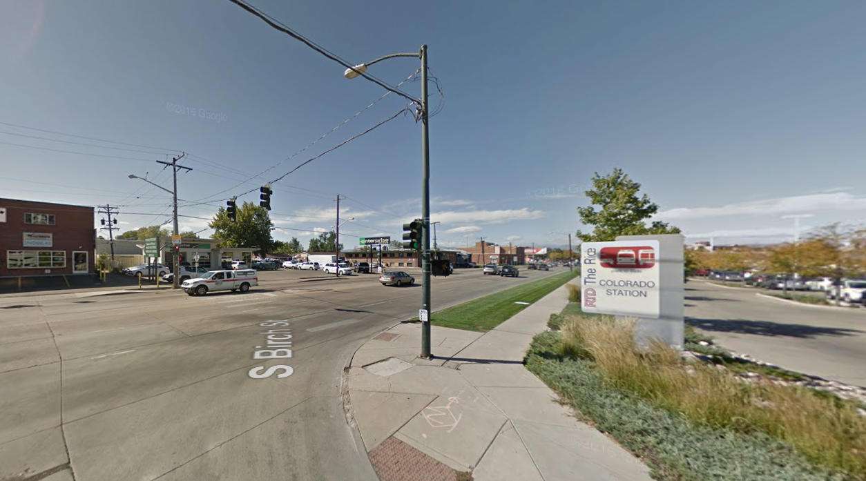
Currently the stretch from Josephine Street to the station has two car lanes and unprotected, intermittent bike lanes that vanish just before a hectic intersection at Colorado Boulevard, right across the street from the station. Planners propose repurposing car lanes for either two protected bike lanes on either side of the street or a two-way, raised protected bike lane on the south side. The bike lanes would continue on Buchtel all the way across Colorado Boulevard to Colorado Station.
Buchtel could receive at least a striped, buffered bike lane when Denver Public Works repaves it this year, while officials work on more permanent fixes, a project consultant said.

The problems enveloping the stations aren’t just about transportation, they’re about land use. Colorado Station is underground, with a park-and-ride on top, surrounded mostly by low-density developments like car dealerships and storage companies. Car storage could move underground as part of this plan, making more room for people. Planners hope ped-bike improvements and market research will compel denser development in which people can live, work, and shop.
“Freeway Ford [dealership], that thing is already zoned for 20 stories. It’s ready to go,” said Denver Transit-Oriented Development Manager Chris Nevitt. “What we do — this isn’t a perfect metaphor — but a lot of what we do is set the table for a meal that someone else may cook. We’re trying to set the table here.”
A Transportation Solutions report found that the two stations combined could support 1,600 additional market-rate and affordable homes, 90,000 new square feet of retail, 130,000 square feet of new office space, and two to three new hotels (DU’s hospitality program would use one).
“The question from our side is, how can you make University a more vibrant station that more people would use because they felt safer getting to it, felt safer using it?” said Chad King with the DU Center for Sustainability. Parking lots kill street life, so one idea is to entice developers to wrap housing and retail around them, King said. Another is to create a new boarding area for buses and turn the current one into a plaza for students and transit riders.
The plans are conceptual, and are still going through the public process. Right now there isn’t funding for any of the right of way improvements, but the 2017 bond could be a major revenue source. Planners want feedback, so send comments through the Transportation Solutions website.